
About Us
Asia Air Survey Myanmar offers technical services that span the collection, survey and analysis of aerial and ground information, the proposal of solutions for its use. We are pushing forward to develop Myanmar and to achieve safe, secure, and prosperous living for people around the world.
News
- 18 January, 2021
- AASMM's website has opened on 18-January-2021
- 1 September, 2020
- Due to the influence of COVID-19, our staff are working from home.
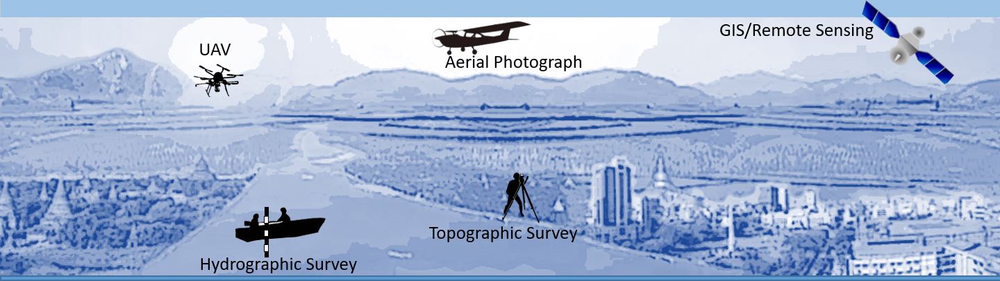
Main Services
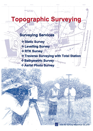
Topographical surveys are conducted to identify and map the contours of any given piece of land and any features that exist above or below ground, such as buildings, services, roads, railway and vegetation.
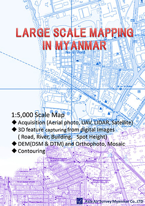
Topographic maps are a type of physical map. They show natural and man-made features on Earth, and they feature contour lines to show the elevation levels of land and the depth of bodies of water. Our company makes various maps using aerial photos from drones and aircraft and LiDAR data.
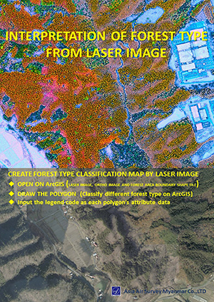
Our services leverage the power of Geographic Information Systems (GIS) to create, analyze, manage, and display such as forest, agriculture, environmental data.