Software
AZuka: Digital Plotter
AZuka is a cost-effective 3D digital mapping software, comprising a plethora of functions such as aerial triangulation, 3D measurement, production of true orthophoto, analytical photogrammetry, automatic Digital Elevation Model (DEM) and TIN generation.
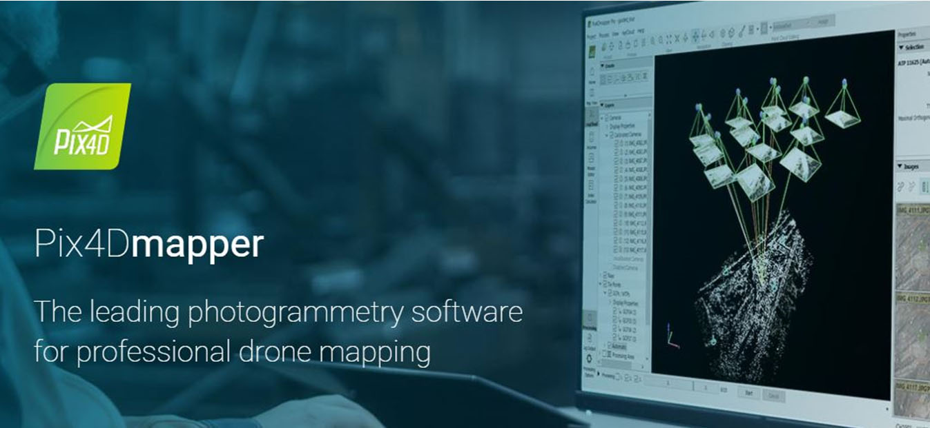
Pix4D
Pix4D is a solution to converting thousands of aerial images taken by lightweight, unmanned aerial vehicle (UAV) or aircraft into geo-referenced 2D mosaics, 3D surface models and point clouds. With its advanced automatic aerial triangulation based purely on image content and unique optimisation techniques, Pix4D software enables civilian light-weight drones to become the next-generation mapping and surveying tool.
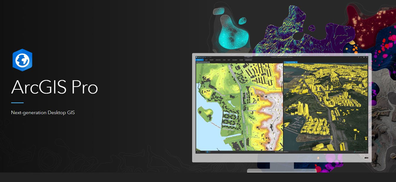
Esri Arc GIS
ArcGIS Pro is Esri's powerful, single desktop GIS application. Technologically ahead of everything else on the market, ArcGIS Pro supports data visualization, advanced analysis, and authoritative data maintenance in 2D, 3D, and 4D. ArcGIS Pro supports data sharing across a suite of ArcGIS products such as ArcGIS Online and ArcGIS Enterprise through Web GIS.
Survey Instruments

SATLAB: Survey Instruments
SatLab Geosolutions is a Swedish based global satellite positioning solutions company with offices strategically located around the world. Founded by a group of passionate and pioneering engineers, with a total of more than 40 years of experience in the GNSS industry, the management team is made up of veteran industry experts who value our customers'needs.
Map
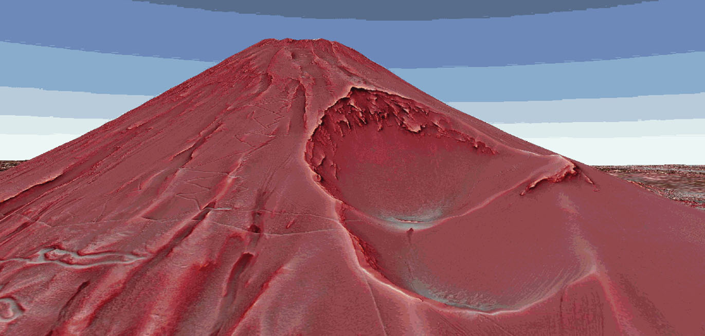
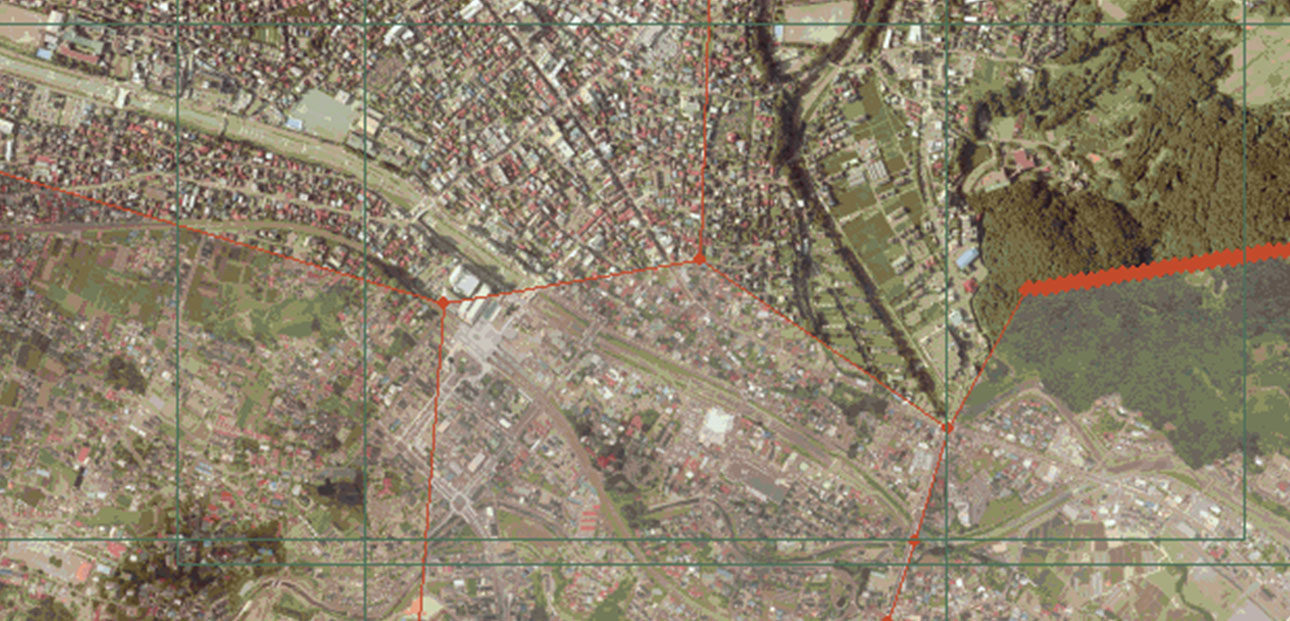
Red Relief Image Map
Red Relief Image Map (RRIM) provides a detailed 3D visualization of land surface while neither shaded relief nor contour maps do. Elevation data such as DEM, DSM and contour line can be used to generate RRIM.
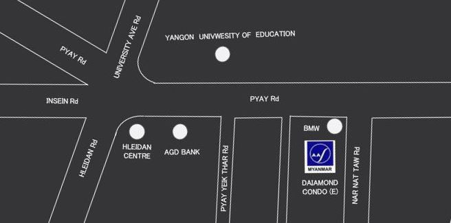
Location Map
Putting a map on your business card can be an excellent way for customers to find you.